 Prenotare vacanze
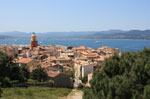 Locazione vacanze
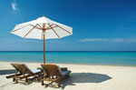 Soggiorni Residence
 Promozioni
 Prenotate hotel
 Soggiorni
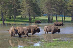 Gite
Gite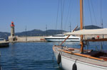 Nautica
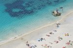 Spiagge e litorale
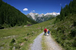 Excursioni
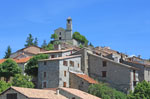 Turismo
 Scoperte
 Cinema
 Films
Films Ristoranti
 Ricette
 Attività
 Uscite
 Autonoleggio
 Traghetto Corsica
 Suggerimenti Costa Azzurra
 Mondo portata di Nizza
 Biglietti aerei
 Immobiliare
 Piccoli annunci
 Facebook
 Foto della settimana
 Agenda della settimana
 Effemeride
 Oroscopo
 Eventi
 Colpi di cuore

Randonnées
Col de Gialorgues - Haute Tinée 1 - Haut Pays
Carta IGN : "Haute Tinée 1"
Top 25 n°3639 OT
1:25000e
Informazioni
- Zona geografica : Haute Tinée 1
- Periodo : juin à octobre
- Difficoltà : rando moyenne
- Durata : 4h AR
- Salita : + 600 m
- Discesa : - 600 m
«Escursioni in montagna Circuit du Bois d'Anelle retour Escursioni in montagna Crête de la Blanche»

Contact rando : rando@cote.azur.fr