 Book holidays
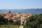 holiday Rental
 Stays in residence
 discounts
 Book hotel
 Stays
Stays Excursions
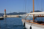 Sailing and Boating
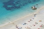 Beaches and seaside
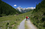 Hike
Hike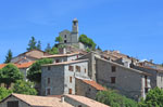 Tourism
 Discoveries
 Cinemas
 Films
Films Restaurants
 Recipes
 Activities
 Outings
 car rental
 Corsica Ferries
 Good ideas on the Riviera
 World within reach of Nice
 Airline Tickets
 Real Estate
 Classified Ads
 Facebook
 Photo of the Week
 Agenda of the week
 Calendar
 Horoscope
 Events
 Our favorites

Tour des cimes du Lausfer - Haute Tinée 2 - Haut Pays
IGN card : "Haute Tinée 2"
Top 25 n°3640
1:25000e
Information
- Geographic zone : Haute Tinée 2
- Period : juillet à septembre
- Difficulty : rando moyenne
- Length : 4h
- Ascent : + 520 m
- Descent : - 520 m
«Hiking Tête de l'Enchastraye retour Hiking Tour du mont Férant»

Contact rando : rando@cote.azur.fr